Official home of the Lincoln County Authority of Tourism (LCAT)
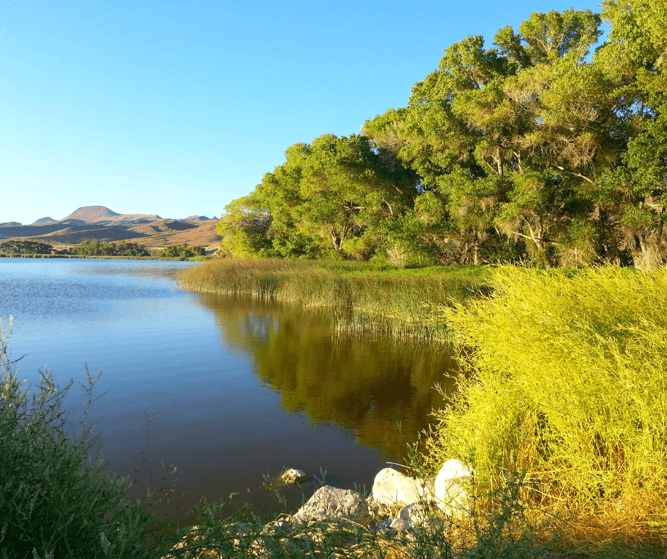
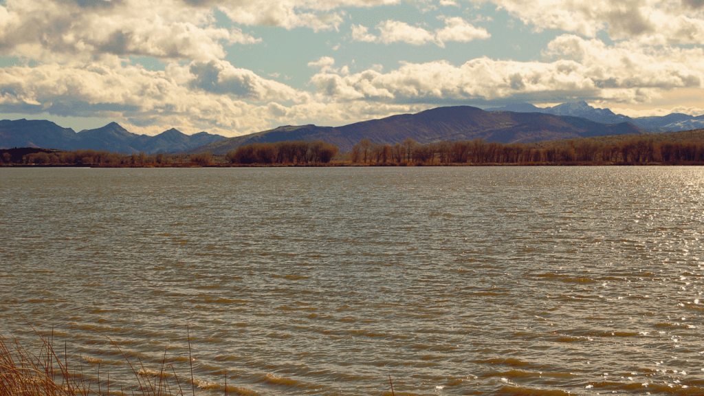
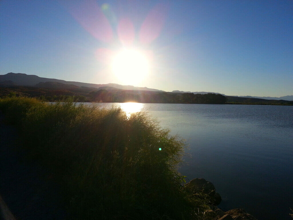
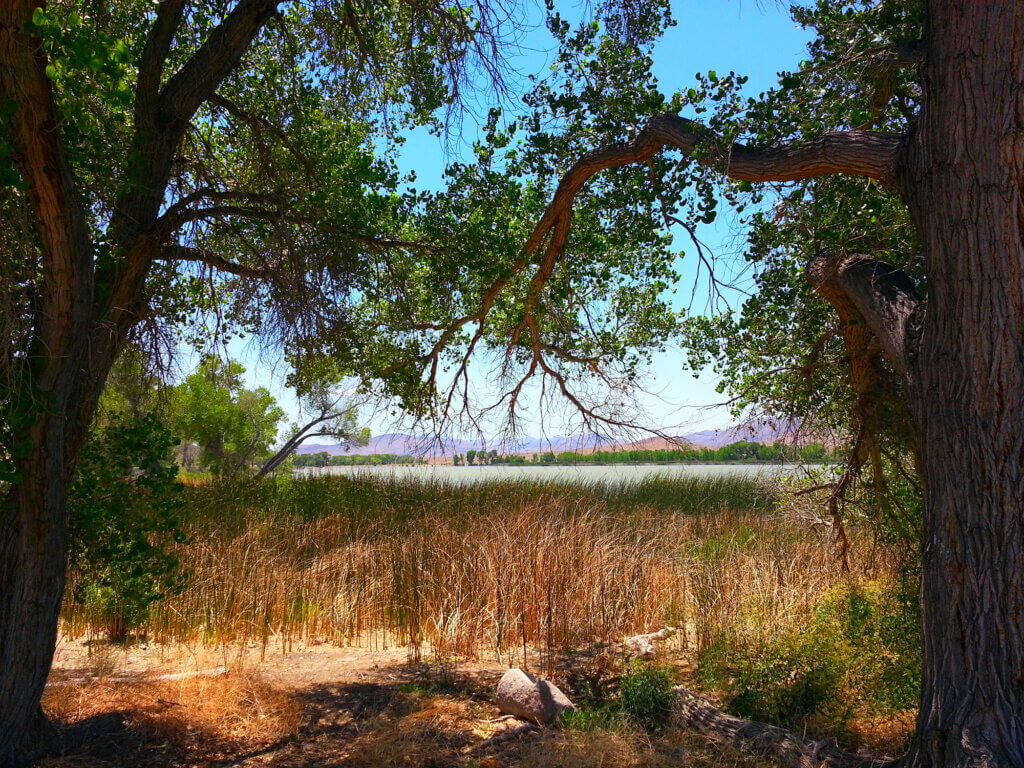
Nestled at the northern edge of the Mojave Desert, Pahranagat Valley—Paiute for “Valley of Shining Water”—is a lush, 12-mile-long strip of life in southeastern Nevada’s arid landscape. Just 90 miles from Las Vegas, it offers a stunning contrast of lakes, grasslands, and trees amid desert terrain.
Established in 1963, Pahranagat National Wildlife Refuge spans over 5,000 acres and serves as a vital sanctuary for migratory birds. Managed by the U.S. Fish and Wildlife Service, it’s part of a national mission to protect wildlife and their habitats.
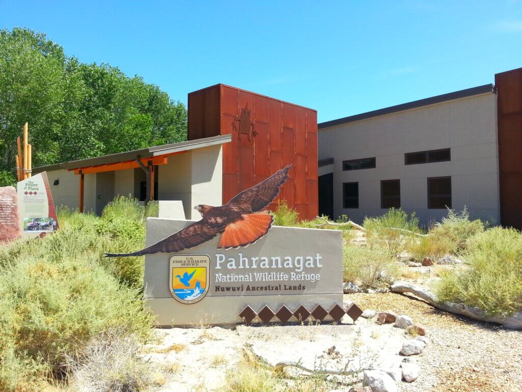
Located just off Highway 93, the visitor center is easily accessible
with clear signage and a paved entrance road. Ample parking
and open grounds make it the perfect place to stretch your legs
before exploring.
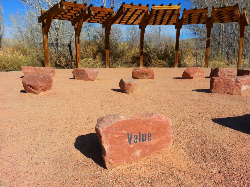
Inside, you’ll find a short film introducing the refuge, interactive
exhibits on local wildlife and history, and friendly staff and
volunteers ready to assist.
Visitor center hours change with the seasons, so be sure to check
before your trip


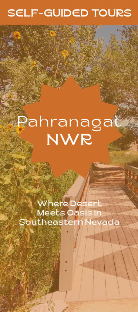
Here’s a suggested 10-stop self-guided tour of Pahranagat National Wildlife Refuge.
Use the interactive map below.
Set beside spring-fed Upper Pahranagat Lake, the refuge provides critical habitat for resident and migratory species. Lush wetlands, meadows, and desert blooms support over 246 bird species, more than half of all recorded in Nevada.
Through tours and educational events, visitors can connect with the land and its rich biodiversity.
Fifteen free, first-come-first-served campsites sit along Upper Pahranagat Lake, offering peaceful nights under the stars. Sites include seating, fire rings, grills, and pit toilets. Tents, trailers, and RVs are welcome (no hookups).
Stay up to 14 days in a 31-day period and enjoy exploring the refuge at your own pace.
Fishing is available year-round in designated areas like Upper Lake and North Marsh, with catches including bass, sunfish, carp, and catfish.
North Marsh is closed to fishing from Oct 1–Feb 1. Boating is only allowed on Upper Lake (Feb 1–Sept 30) with non-motorized or electric boats. No trailers or gas motors permitted.
All fishing must follow state, federal, and refuge regulations
Designated hunting areas run from Dove Dike to Lower Lake, managed by the U.S. Fish & Wildlife Service and Nevada Department of Wildlife under state and federal regulations.
Geese, ducks, coots, moorhens, snipe, and rabbits may be hunted on Tuesdays, Thursdays, and Saturdays during season. Dove hunting is permitted daily in September.
Always follow posted maps and signs marking closed or restricted zones.
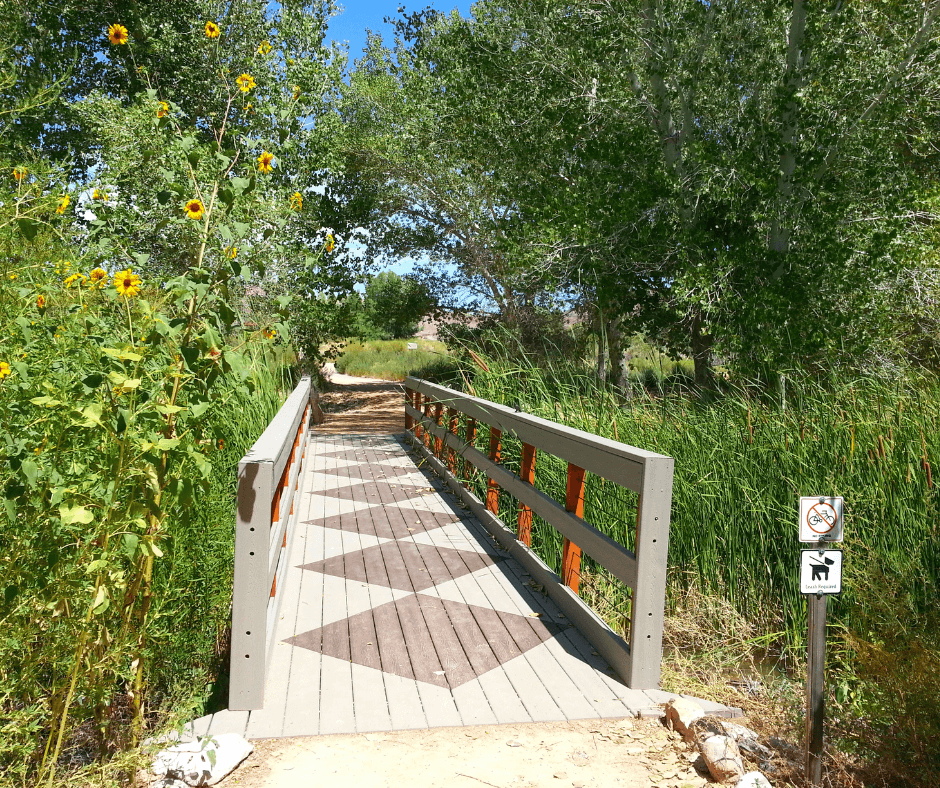
Pahranagat NWR has roughly seven miles of hiking trails. A few trails, starting at the visitor center, include interactive exhibits, and others can
be accessed from multiple parking areas throughout the refuge.
Davenport Trail: A 1.7-mile, moderately challenging trail that climbs from the visitor center parking lot to the upland desert, offering spectacular views before ending at Upper Pahranagat Lake.
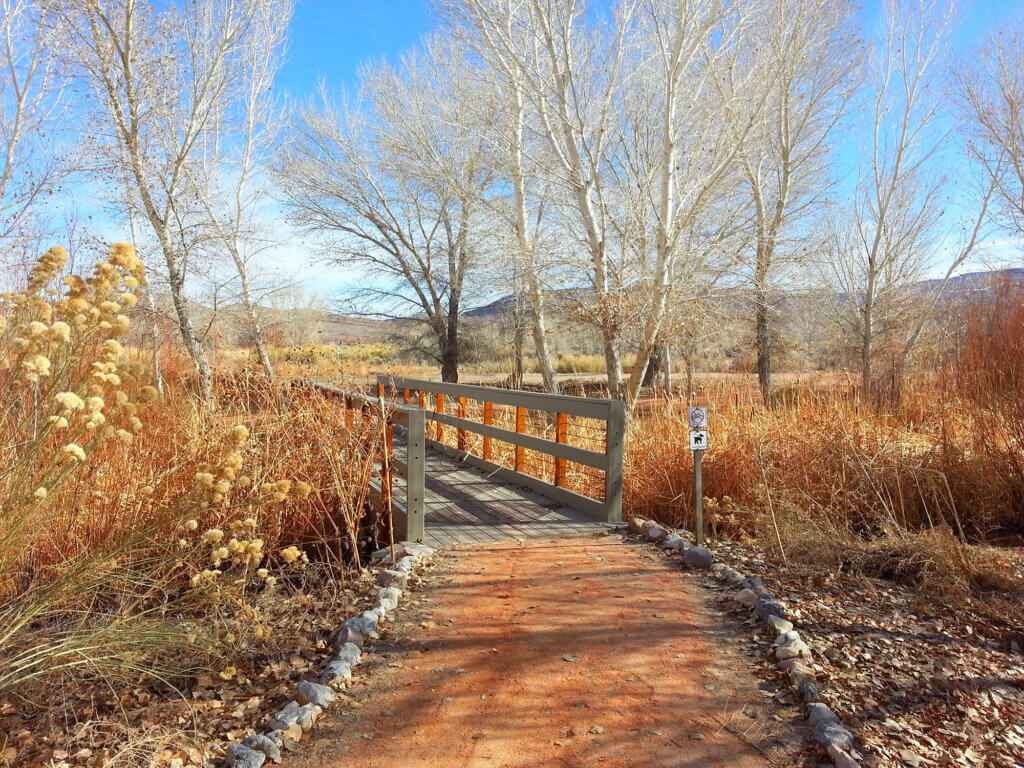
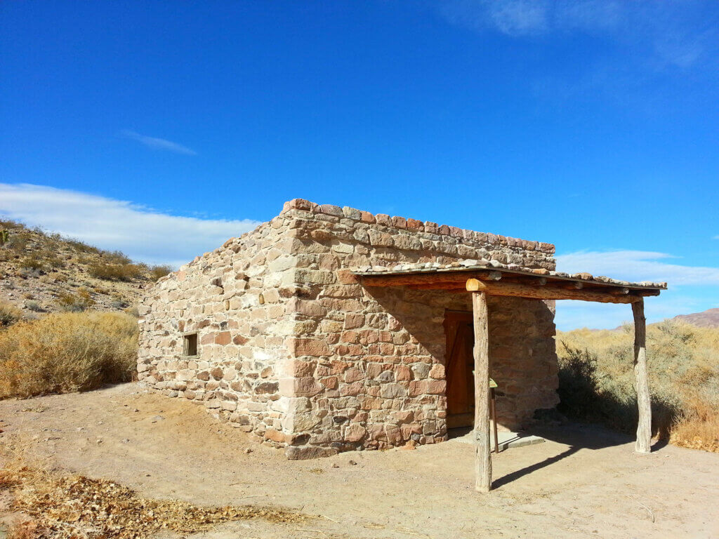
Cabin Trail: An easy, 0.4-mile (each way) ADA Accessible trail starting behind the visitor center. It leads to two historic cabins built by early settlers, featuring exhibits and soft rock carvings that resemble Native American petroglyphs, cattle brands, and initials.
Pahranagat Loop: An easy, 0.4-mile ADA Accessible loop starting behind the visitor center. It is known for being a prime songbird habitat, including the endangered southwestern willow flycatcher (Kam-pe-ats).
Black Canyon Trail: A 1.42-mile loop located east of Highway 93 across from the visitor center turnoff. This newer trail features wetlands, dark geologic formations, and viewing scopes for ancient rock art
Upper Lake Trails: This is an easy 1.4-mile trail as marked, or a three-mile loop if you include the campground road. It offers year-round viewing of waterfowl and migratory birds, including bald eagles in the winter. The trailhead on the south side of the lake features a paved walkway leading to viewing scopes, with an additional scope located along the western lake edge.
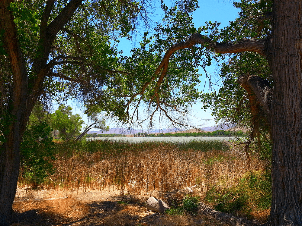
Waterway Trail: An easy 0.8-mile trail that follows the stream originating at the southern edge of the Upper Lake. The vegetation along the water supply ditch provides excellent bird habitat.
Gravel routes offer pedestrian access to the southern half of the refuge on non-hunting days. While not officially maintained as trails, these routes are available for exploration. For safety reasons, these routes are closed to non-hunters during September and on Tuesdays, Thursdays and Saturdays from Oct. 1 through Feb. 1.
Cottonwood Springs: 2.2 miles. This rugged and unmaintained route winds through some of the refuge’s most secluded areas. Be prepared for soft, muddy conditions at times.
Dove Dike: 0.7 miles. This leisurely route offers a lovely opportunity to explore a meadow of showy milkweed. During the summer, keep an eye out for monarch butterflies. Fall transforms the meadow into a vibrant sea of tall wild sunflowers.
WHIN Dike: 0.7 miles. The Wildlife Habitat Improvement of Nevada (WHIN) Dike provides an easy route for observing shorebirds.
Middle Marsh Dike: 0.2 miles. This easy route introduces hikers to many wildlife species enjoying the shallow water and tall willow trees.
These roads offer access to remote desert backcountry. High clearance/4WD vehicles are required. ATVs are not permitted.
Medsger Pass: This road extends approximately 22 miles beyond the refuge onto public lands managed by the Bureau of Land Management, leading to the base of Tikaboo Peak. Please note that there are no services along the way. This includes limited cell phone reception. A high-clearance 4WD vehicle is essential. Be sure to bring plenty of water and emergency supplies.
Alamo Road: This route extends approximately 72 miles beyond the refuge to the Desert National Wildlife Refuge visitor center. Please note that there are no services along the way, and there is limited cell phone reception. A high-clearance 4WD vehicle is essential. Be sure to bring plenty of water and emergency supplies.